Lake Oeschinensee Hike
Trail Map Guide

Lake Oeschinensee Hike Map

Above Kandersteg, a turquoise glacial lake sits in a horseshoe of limestone walls, ringed by paths that range from a stroller-friendly gravel track to an exposed alpine traverse. Choosing between them is the whole question, and the routes are not equally forgiving. This page maps the options, names the viewpoints worth the detour, and explains which loop variation suits which pair of legs.

10 min read Updated 2026-09-24 Fact-checked
Lake Oeschinensee Hike Map

Quick answer

No single circular trail rings the entire lake — the standard lake oeschinensee hike map guide shows a there-and-back shoreline path plus loop variations that close via the gondola or the Läger forest road. From the top station, the lake is roughly 20 minutes on a wide gravel track; the Panoramaweg above the north shore adds altitude, exposure and the best sightlines. Snow closes the higher variants outside summer.

The lake has no natural outlet. Water drains through fissures in the limestone beneath it and resurfaces further down the valley, which is why the shoreline sits so still and why its colour shifts from milky jade in June to deep turquoise by late August. That geology also explains the terrain underfoot: karst rock, moraine debris from the Blüemlisalp glaciers, and scree fans that dictate where a trail can safely run. Anyone reading a lake oeschinensee hike map for the first time tends to expect a neat circle. There isn't one. The main artery runs from the gondola top station down a wide, graded track to the north shore, where the restaurants and rowing boats sit. From there the path continues east along the water, thins to a single track, and ends at the alluvial delta below the Fründenhorn. Returning means retracing that stretch. The genuine loop variations are formed by pairing this shoreline walk with one of three higher lines: the Panoramaweg, which climbs the north flank toward Underbärgli and delivers the postcard angle across the whole basin; the Heuberg traverse, narrower and more exposed, best left to hikers comfortable with drop-offs; and the Läger forest road, a broad descent that returns to Kandersteg on foot instead of by cable car. That last option is the one most people underuse, and it turns a short outing into a half-day circuit. Viewpoints reward a little planning. The bench above the first switchback on the Panoramaweg catches morning light on the Blüemlisalp massif; the delta at the far end gives the cleanest reflection when the wind drops; the Oeschinen Alp meadows frame the water with cattle and hay barns in the foreground. An Oeschinensee trail map printed at 1:25,000, or the SwitzerlandMobility hiking layer, marks these junctions with the standard yellow diamonds and white-red-white blazes — worth cross-checking, since phone signal thins out along the eastern shore. Treat any lake oeschinensee hike map as a decision tool rather than a route to follow literally. Match the variant to conditions: the shoreline track holds up in most weather, the alpine traverses do not. Snowfields linger into early summer on the higher paths, and the Kandersteg lake walk in shoulder season may mean turning back at a cornice. Check trail status before committing, then let the map do the rest.

“The lake has no outlet; the water simply disappears into the limestone and resurfaces down the valley.”
Itinerary

Planning Your Lake Oeschinensee Hike Map and Loop Itinerary

A single-day loop for walkers with average fitness who want the lake shore, the panorama balcony path, and the descent back to Kandersteg on foot. Allow about six hours from gondola base station to return, including stops.

08:30

Arrive at valley station

Reach Oeschistrasse 50 in Kandersteg and walk to the Oeschinensee gondola base. Budget 15 minutes for the ticket desk and boarding queue before the cabin ride.

08:50

Ride gondola to Oeschinen

The cabin lifts you to the Oeschinen station above Kandersteg in roughly eight minutes. Step out and take the signed gravel track rather than the summer toboggan area.

09:10

Walk down to the shore

Follow the main path 20 to 25 minutes downhill to the lake basin and the Berghotel Oeschinensee terrace. The gradient is steady, so shoes with grip help on wet gravel.

09:45

Circle the northern lakeshore

Trace the shoreline trail past the boat rental jetty toward the scree slopes below the Blüemlisalp face. Turn back at the delta if you want a two-hour version of the day.

11:00

Climb toward Underbärgli

Take the marked ascent behind the lake to the Underbärgli alp for the classic overhead view of the water. The climb gains about 250 metres and takes 45 to 60 minutes.

12:30

Lunch at Ober Bärgli

Continue on the balcony path to the Ober Bärgli hut for a mountain lunch above the lake. This upper traverse is the most exposed part of the loop, so check the trail is snow-free before committing.

14:00

Descend the Läger path

Drop down the switchbacks through Läger and the forest toward Kandersteg, roughly two hours on foot. Walkers with tired knees can instead return to the gondola station and ride down.

16:00

Close the loop in Kandersteg

Arrive back in the village near the valley station, closing a full circuit of around 12 kilometres. Consult the official trail map at oeschinensee.ch before you set out to confirm current path closures.

Timing

Optimal Timing for Your Lake Oeschinensee Hike Map Experience

The best arrival window is 08:30–10:30, which allows hikers to bypass gondola queues and experience the trails before peak mid-morning congestion. Planning your hike during this timeframe ensures a more manageable pace when navigating your Oeschinensee hike map.

Weekday mornings

Minimal

—

Arriving at 08:30 ensures quiet trails and no gondola wait.

Summer weekends

Heavy

15°C to 22°C

Expect high foot traffic near the lake and longer gondola queues.

September to October

Moderate

8°C to 16°C

Clear conditions and fewer visitors make this an effective period for hiking the loop.

Mid-day (11:00–15:00)

High

—

This window coincides with the highest density of day-trippers on the primary routes.

Verdict: Aim for a weekday arrival between 08:30–10:30 during the shoulder months of September or October.

What to see

Key Landmarks on the Lake Oeschinensee Hike Map

The trail network around Lake Oeschinensee offers various terrain, from high-altitude alpine paths to shaded forest routes. These landmarks define the primary loop variations and viewing zones available to hikers.

Läger viewpoint

Läger viewpoint

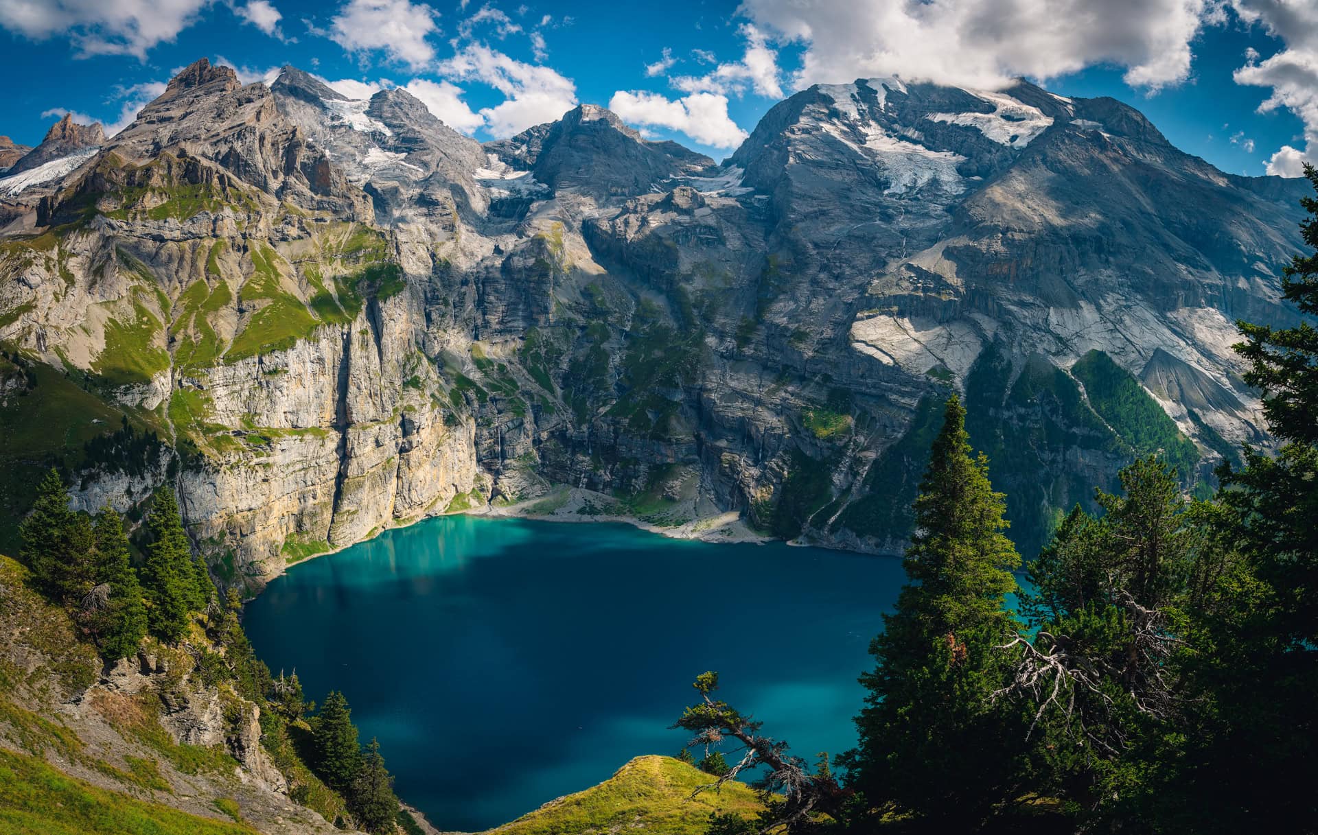
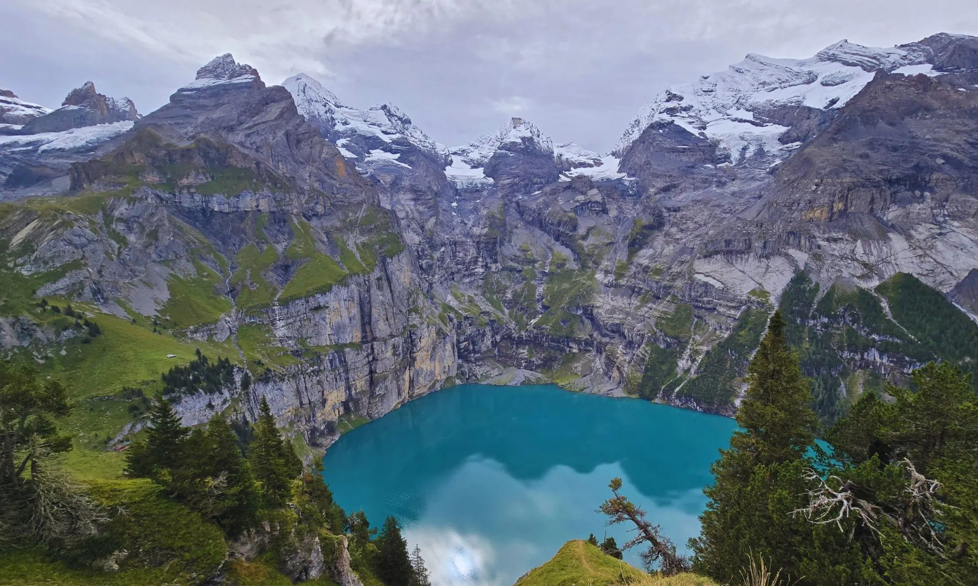
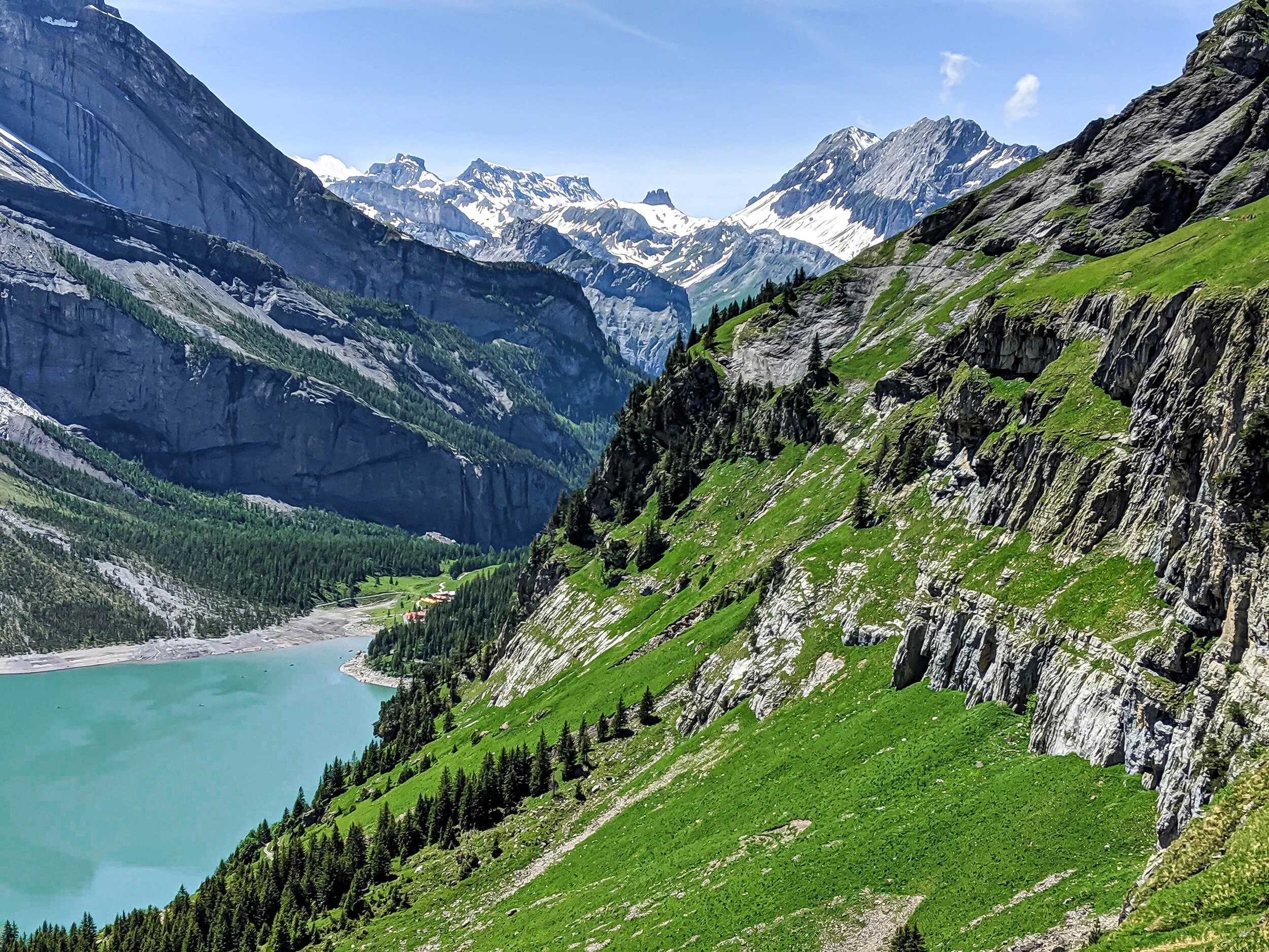
This elevated position offers a panoramic outlook over the entire glacial lake and the surrounding Blüemlisalp massif. It is accessible via the upper mountain trail path.

Visit early for clear views before afternoon mountain shadows descend.
Heuberg trail

Heuberg trail

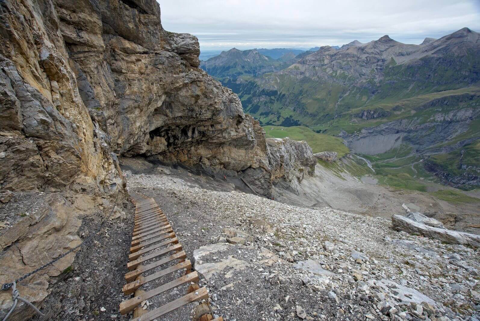
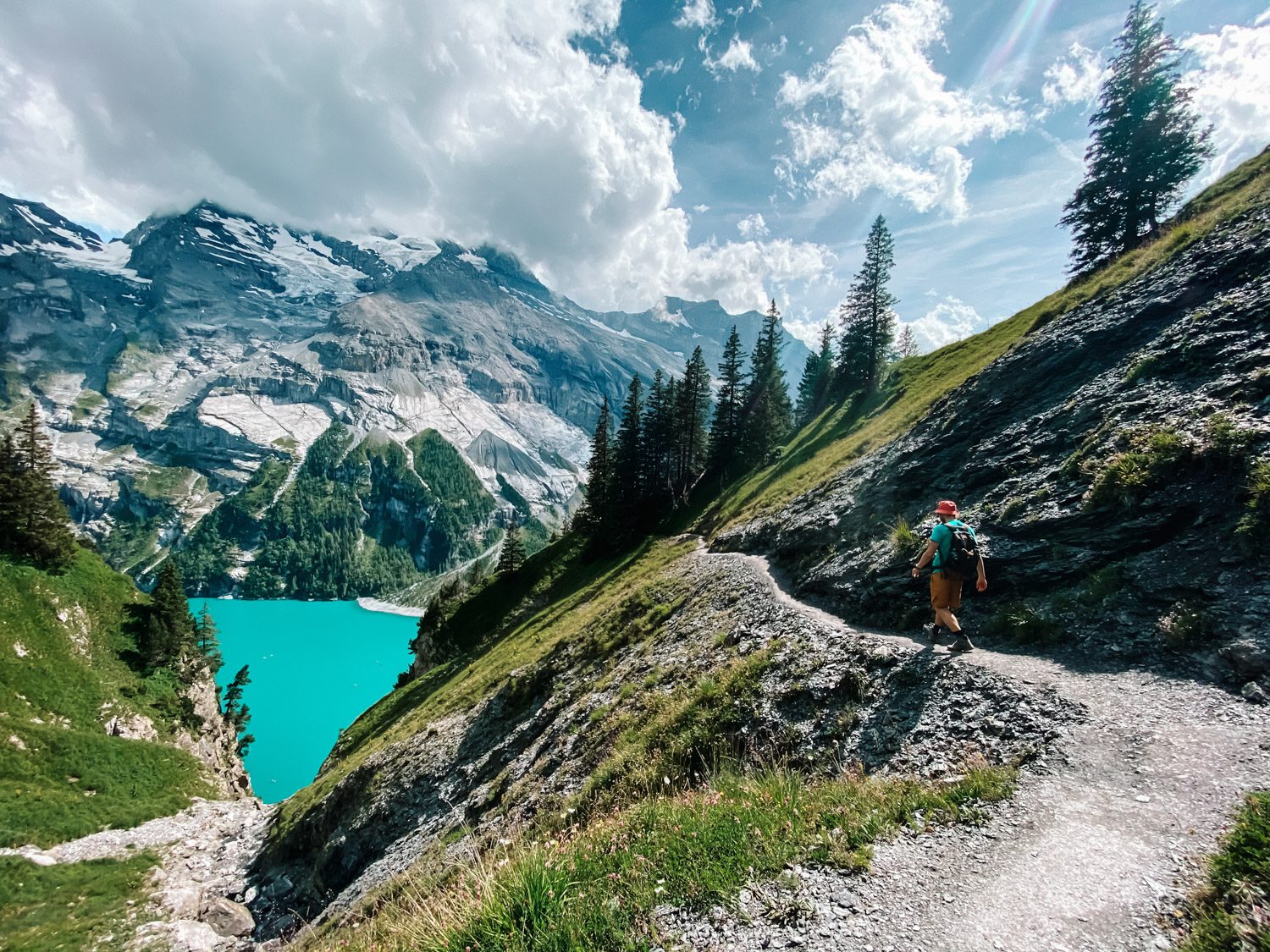
This high-altitude segment traverses the steep slopes above the lake and provides consistent views of the water and waterfalls. The path requires steady footing as it contours the mountainside.

Walk in the direction of the gondola for continuous lake views.

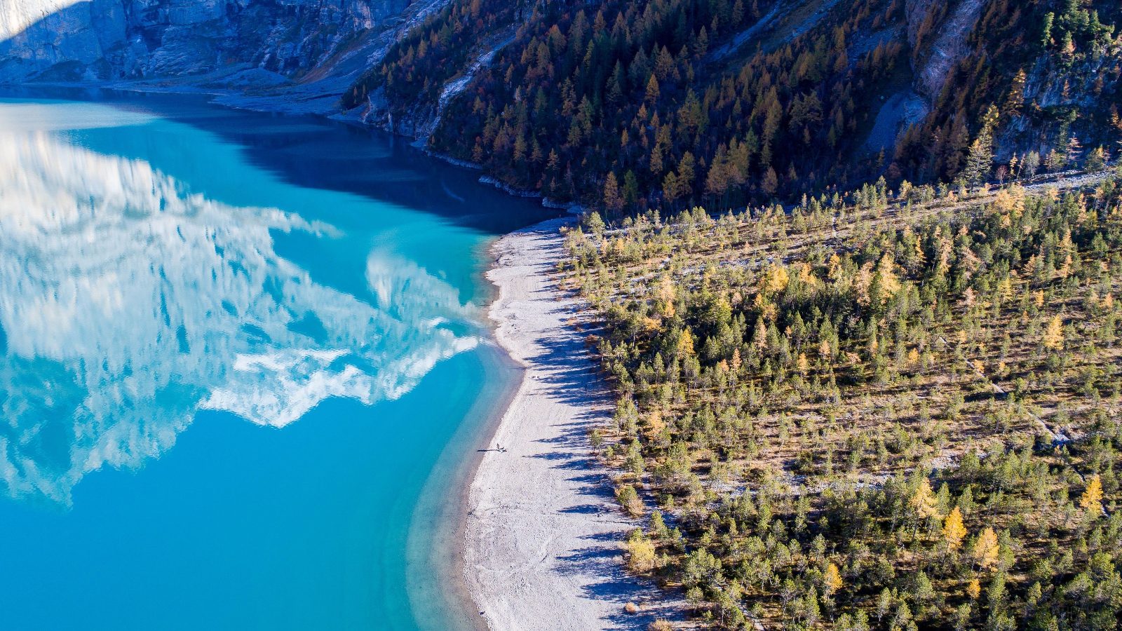
Oeschinensee shoreline

Oeschinensee shoreline

The lake perimeter features flat, accessible paths leading to various pebble beaches and resting areas. It serves as the central hub for all trail connections.

Walk toward the east end to find quieter, less crowded coves.

Fründen cabin path

Fründen cabin path

This trail leads toward the higher alpine reaches, offering a closer perspective on the dramatic rock faces of the Fründenhorn. It is the preferred route for those seeking more elevation gain.

Turn back at the designated clearing for unobstructed mountain vistas.

Photography

Best Viewpoints for Your Lake Oeschinensee Hike Map Photo Journal

Läger viewpoint

Läger viewpoint

Early morning or late afternoon

Positioned high above the lake, this vantage point captures the full expanse of the water and the surrounding cliffs. Access via the Panorama Trail.

Heuberg viewpoint

Heuberg viewpoint

Midday

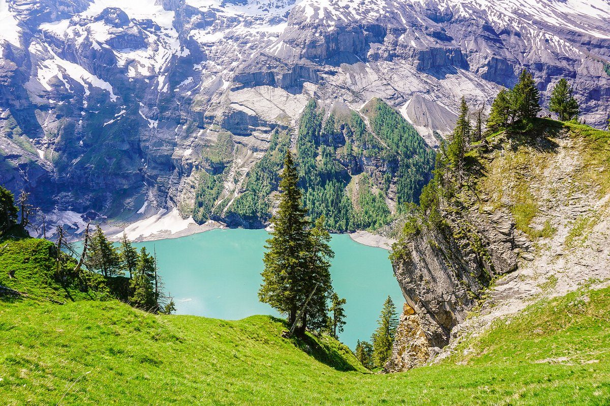
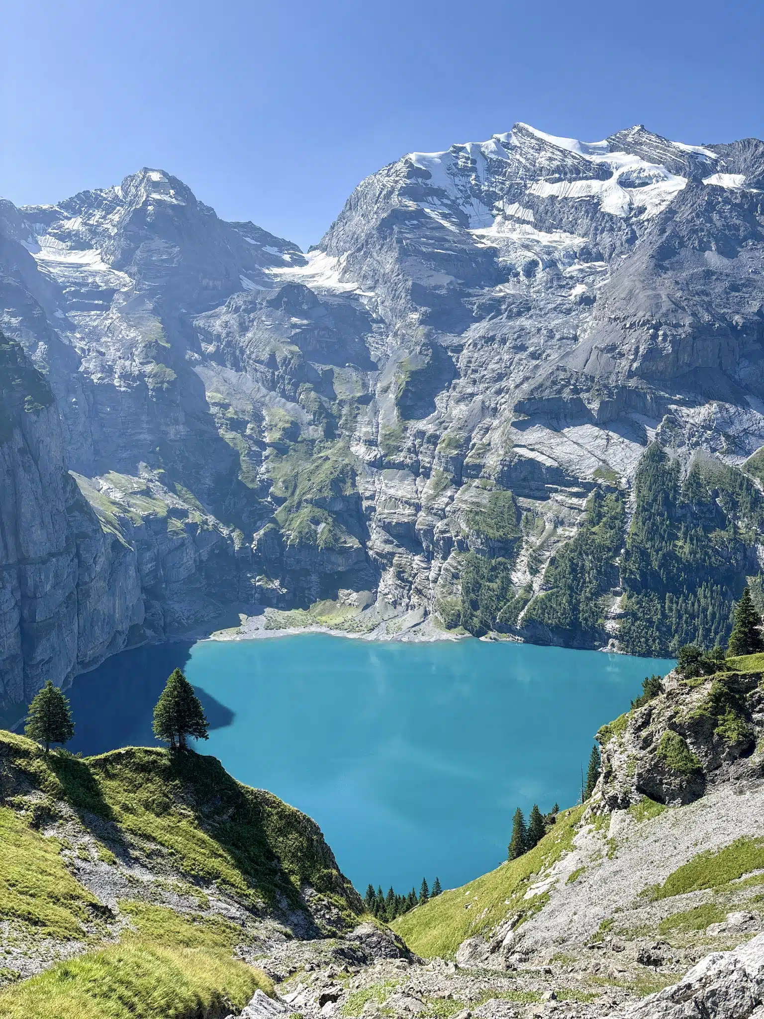
Located along the upper loop, this spot offers a perspective looking down onto the lake with the Bluemlisalp massif in the background. Requires a steep ascent.

Lake Shore Path

Lake Shore Path

Morning light

Follow the trail along the water edge to capture reflections of the mountains on the lake surface. Accessible from the main restaurant area.

Gondola approach

Gondola approach

During descent

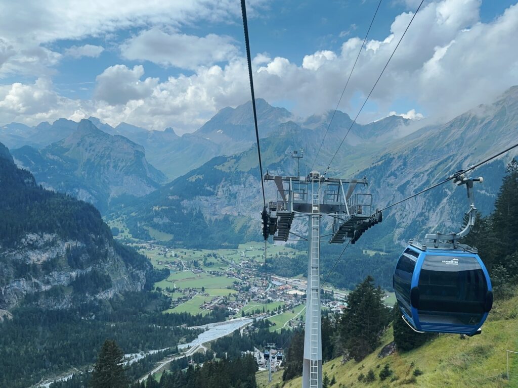
The view from the cable car descending toward Kandersteg provides a high-angle composition of the valley and lake. Best captured through the window.

Directions

Getting to the Start of Your Lake Oeschinensee Hike Map

Lake Oeschinensee is located above the village of Kandersteg in the Bernese Oberland. The most efficient way to access the trail network is by taking the gondola from the valley station to Oeschinen.

Train Varies by origin —

BLS line to Kandersteg station

Bus 5 min —

Local Kandersteg bus to Oeschinen Gondola stop

Car Varies by origin —

A6/A8 motorway towards Kandersteg, parking at Oeschistrasse 50

On foot 15 min —

Walk from Kandersteg station to Oeschinen Gondola

For the best experience, plan your arrival between 08:30–10:30 to avoid mid-morning crowds and long wait times for the gondola. Parking is available at the address Oeschistrasse 50, 3718 Kandersteg, Switzerland.

Prices

Admission and Gondola Fees for the Lake Oeschinensee Hike Map

Access to the Lake Oeschinensee trail network is facilitated by the Kandersteg-Oeschinensee gondola. Fees primarily cover the return transport required to reach the hiking trailheads.

Adult Return Standard fare for round trip gondola
40 CHF
Reduced/Child Return Typical rate for children and pass holders
20 CHF
Children under 6 years of age typically travel free of charge when accompanied by an adult.

Verdict: A typical adult pays 40 CHF for a return gondola ticket, with total costs depending on age-based reductions or regional transport pass validity.

Opening hours

Operating Hours for the Lake Oeschinensee Hike Map Access

The gondola providing access to the Lake Oeschinensee hike operates daily throughout the week.

Monday
08:30–18:00
Tuesday
08:30–18:00
Wednesday
08:30–18:00
Thursday
08:30–18:00
Friday
08:30–18:00
Saturday
08:30–18:00
Sunday
08:30–18:00
Please consult the official site at https://www.oeschinensee.ch for updates regarding the final daily descent.
Book

Check availability

Frequently asked

Frequently asked questions about lake oeschinensee hike map

Everything you need to know about lake oeschinensee hike map

How can I find a reliable lake oeschinensee hike map?

You can access an official lake oeschinensee hike map on the site's itinerary section or via the official website to identify marked paths. These resources provide clear visual guidance for the various elevation profiles and terrain types found in the Bernese Alps. Referencing an accurate lake oeschinensee hike map ensures you remain on authorized trails while exploring the UNESCO-listed surroundings.

Is the Oeschinensee loop trail difficult?

The loop trail around this alpine lake varies in difficulty, though most paths are well-maintained for moderate hikers. By studying a lake oeschinensee hike map, you can select routes that avoid steep sections or technical terrain. Always check current conditions at the gondola station before starting your walk.

Can I hike around Oeschinensee with children?

Yes, many families enjoy the shorter paths near the mountain station, which are clearly marked on any standard lake oeschinensee hike map. While the full loop requires stamina, shorter out-and-back segments offer similar alpine scenery for younger trekkers. Ensure you bring appropriate footwear regardless of the chosen path length.

What is the best arrival window for the Oeschinensee gondola?

To avoid peak crowds and ensure a smoother ascent, the best arrival window is between 08:30–10:30. Following this schedule allows you to utilize the gondola before the busiest visitor influx occurs. Please consult the dedicated transit section for further information on reaching the Kandersteg cable car station.

Where can I locate the Oeschinen mountain lake hiking trails?

The hiking trails near this alpine landmark are situated above the village of Kandersteg and can be accessed via the gondola. Detailed signage is present throughout the area to supplement the guidance provided by an official trail map. Local path markers will lead you toward the water's edge or up to the higher panoramic viewpoints.

Are there other panoramic Oeschinen viewpoints beyond the lake loop?

Beyond the immediate shoreline path, multiple trails lead to elevated vantage points offering a bird's-eye view of the glacial water. These higher routes are recommended for those seeking a more challenging excursion away from the primary lake access points. Detailed topography of these ascents is available within our comprehensive trail navigation guides.

Keep reading

More guides & pages